Kingston’s approach to preparing for the impacts of climate change
Flooding
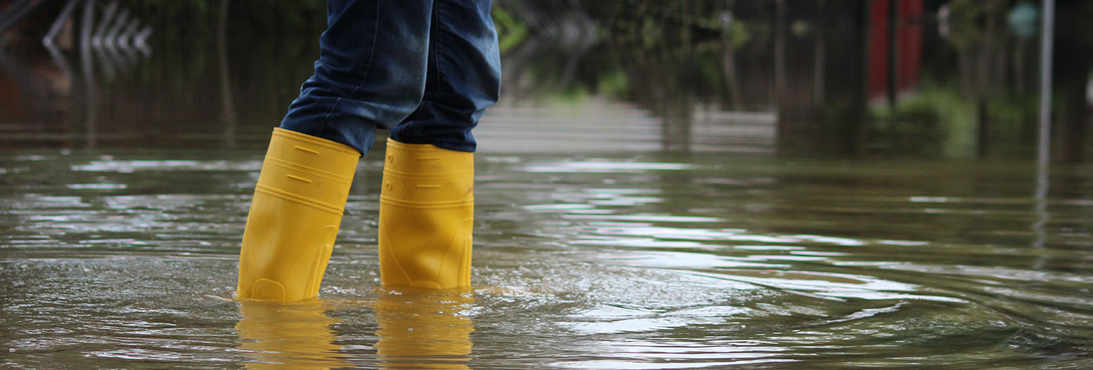
Kingston is vulnerable to flooding from the River Thames, River Hogsmill, Beverley Brook, and Surbiton Stream. The borough also faces a significant risk of surface water flooding, following heavy rain, due to it being a densely populated and urbanised area with a high concentration of hard surfaces such as roads and pavements.
Climate change is making these risks more severe. Heavier and more intense rainfall, especially during the winter months, is becoming more frequent. As a result, both river flooding and surface water flooding are expected to occur more often and with greater impact.
What will Kingston do to prepare for the impacts of climate change?
Please review Target 1 and the suggested measures. Once you’ve reviewed these, please share your thoughts by answering the questions below.
Target 1: Implement nature based solutions and other measures to prepare for increased river and surface flood risk in Kingston
- Continuously implement Sustainable Drainage Systems (SuDS) to manage surface water and reduce flood risk by using permeable surfaces, rain gardens, swales and detention basins
- Restore rivers, wetlands, and natural landscapes to reduce water runoff
- Assess the need and identify points if and when ‘hard’ measures will be required depending on expected flood levels
- Work with the community to increase flood preparedness and community warning systems
- Promote flood resilience and adaptation in existing and new buildings
- Improve drainage capacity through maintenance and upgrades
- Develop a programme of support for those facing the highest risk from flooding e.g. basement property dwellers and businesses based at the riverside